Designed by
threedprofi


Prints (0)
-
No Prints Yet
Be the first to upload a Print for this Design!
Description
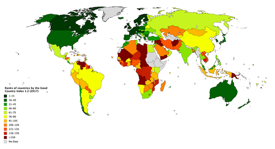
This is a 3d printed world map based on ranks of countries by the Good Country Index 1.2 (2007).
You can find more information on Wikipedia:
https://en.wikipedia.org/wiki/Good_Country_Index
I have changed each color to a specific height. so, the higher the altitude, the better the country.
It is possible to add color to the printed object too. but it is a work of art and I didn't do it.
I have designed the whole world map using "Solidworks". so, I can use this method to show any index, e.g. GDP, population, ... about countries.
Design Files
File Size
Good_Countries.STL
22.4 MB
Comments